In 2019, the Livelihood Based Assessment and Contingency Planning approach was applied in St. Vincent and the Grenadines to provide pre-disaster livelihood information for eleven communities involved in the Volcano Ready Communities in the St. Vincent and the Grenadines (VRC in SVG) project.
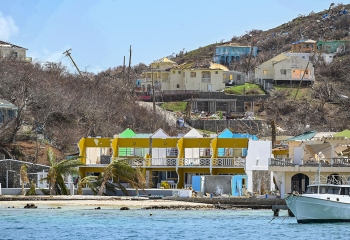
Fancy is located 13° 22’ 0” North, 61° 10’ 0” West. Fancy is partly a coastal community at the highest point, north of the island, approximately sixteen (16) miles from Georgetown (the second main town in St. Vincent). It is accessible by sea and land.
Fancy lies within the Sandy Bay Census Division. At the time of 2012 Census, the population of the entire Sandy Bay Census Division was 2,576 persons of whom 1,374 were males and 1,232 females 2,576. In Fancy there was a total of 490 person living in the area of which two hundred and fifty-five (255) persons were male and two hundred and thirty-five (235) female. The male to female ratio was 1.09 representing marginally more males than females and was the same in the wider population 1.09. Fancy is comprised mainly of Afro-Caribbean descent, with just a few Garifuna/Caribs descendant.
Chapter 3 provides an overview of the socio-demographic profile of Fancy as well as its spatial and locational situation. Chapter 4 provides an overview of its governance structure. Chapter 5 presents an economic overview of the community.
Chapter 6 is a profile of the main hazards that impact the community most directly while Chapter 7 outlines the impact of the 2021 volcanic eruption.
In Chapter 8, the outcome of the Livelihood Baseline Assessment is detailed and includes a profile of community livelihoods and resources. The focus is primarily on agricultural livelihoods. Chapter 9 looks at the type of coping strategies that are employed to deal with hazard impacts on agricultural livelihoods.
Chapter 10 outlines the key response typologies and contingency measures that should be put in place in the event of any disaster.
The Annexes present the damage and loss cost estimates for the agricultural assets, should a disaster occur, as well as the sources of information that were consulted.