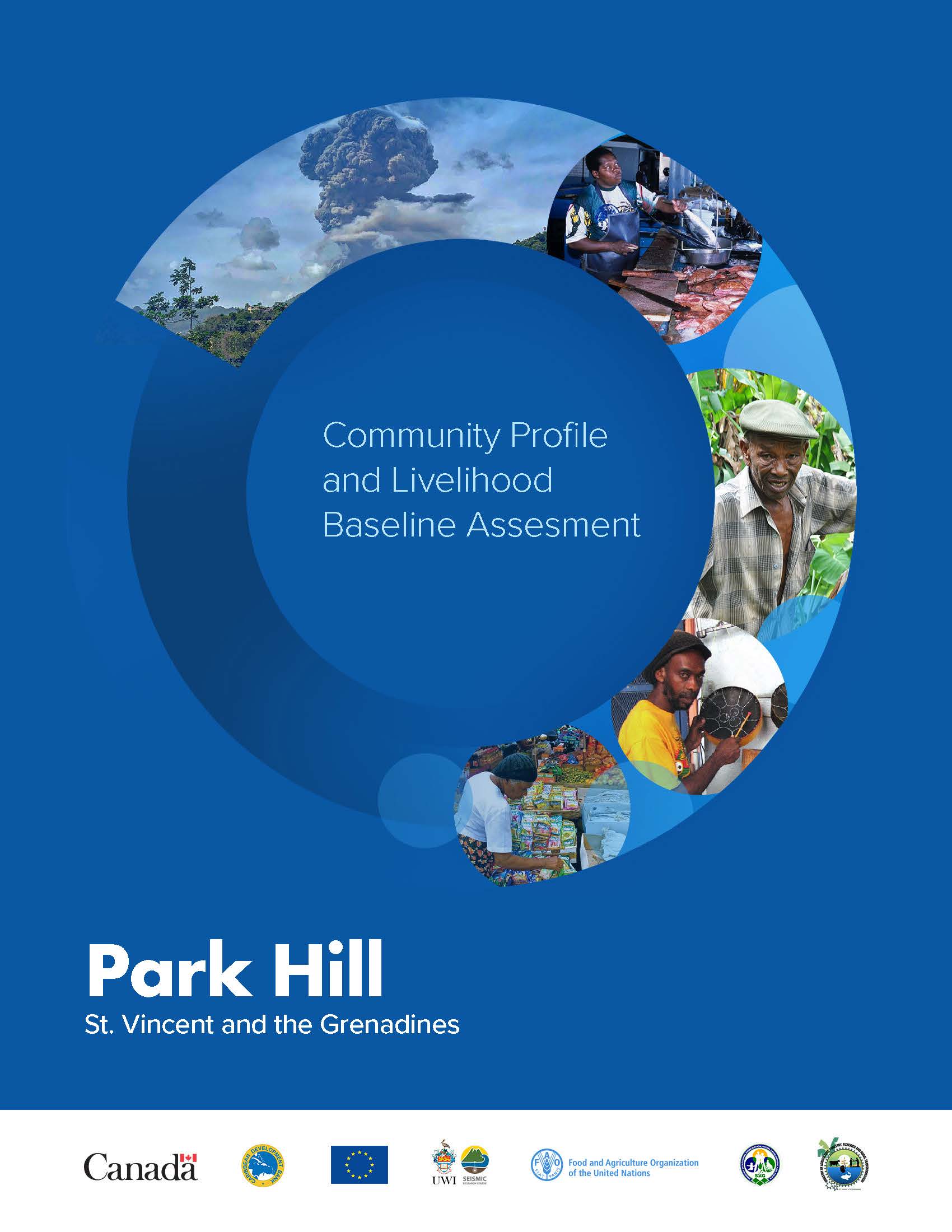
In 2019, the Livelihood Based Assessment and Contingency Planning approach was applied in St. Vincent and the Grenadines to provide pre-disaster livelihood information for eleven communities involved in the Volcano Ready Communities in the St. Vincent and the Grenadines (VRC in SVG) project.
This assessment was conducted to gain an understanding of the various livelihoods in the town of Park Hill.
The village of Park Hill is located on the Windward section of St Vincent in the parish of Charlotte. It includes the following sub-villages, Valley Road, Junction, Coolie Hill, Mc Farlene & Works, Dundo Hole, Top Village, Sir Vincent Drive and Dr. Smith. Like most rural villages on mainland St. Vincent, Park Hill is an agricultural community blessed with very fertile volcanic soils.
Park Hill itself has an estimated population of 1,040 individuals (547 males & 493 females) occupying 332 households with an average household size of 3.1 persons. In relation to population distribution by gender, males outnumber females, accounting for 52.5% of Park Hill’s population. Chapter 3 provides a socio-demographic description of the community, as well as an overview of its cultural and historical characteristics. Chapter 4 looks at the governance structure of the community.
Chapter 5 highlights levels of employment and the occupational groups in the Colonaire Census Division where Park Hill is located, as an indication of the economic profile of the community. Chapters 1 through 5 form the Community Profile for the village of Park Hill.
Chapter 6 is a profile of the main hazards that impact the community most directly while Chapter 7 outlines the impact of the April 2021 volcanic eruption.
